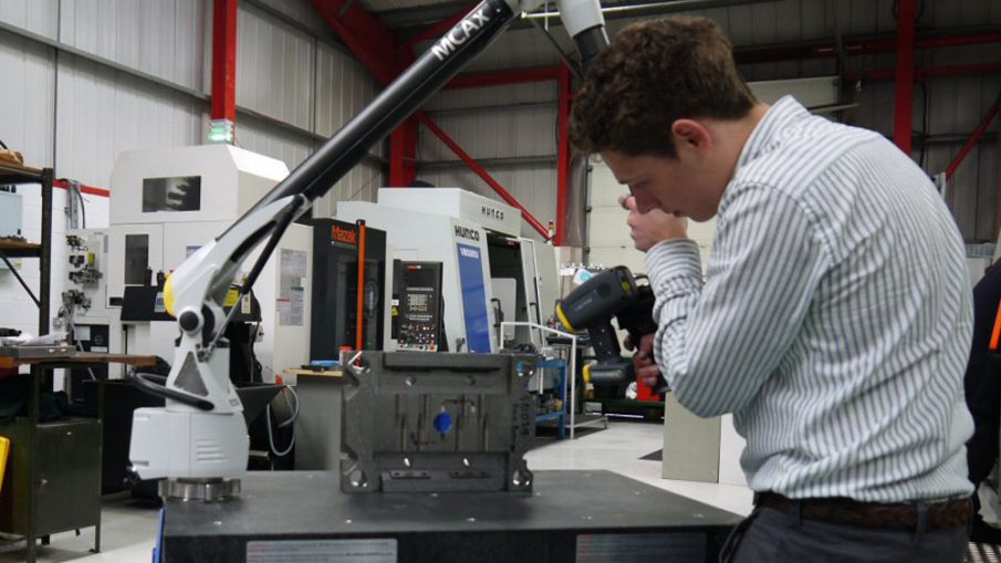
When it comes to civil, piping, or marine engineering projects, one of the biggest challenge contractors or project organisations now face is the need to survey the huge extent of lands of diversified terrain. Usually, the civil engineering and construction projects may cover larger areas, and completing land surveys for such projects are very tedious and time-consuming endeavours. Most of the times, unexpected delays in such projects mostly happen due to the extended time taken for on-site surveys.
3D Surveying Technology
In order to ensure that the infrastructure projects are well kept on schedule, organisations now adopt the latest technologies in land surveying, which in turn helps to cover larger areas in a smaller amount of time. One such solid and proven technology is 3D laser scanning and the biggest news now is that 3D is effectively used in all types of surveying projects including;
- Civil engineering
- As-built surveys
- Architecture projects
- Cultural and heritage sites
- Power piping
- Reverse engineering and Inspection etc.
Maintenance Projects
In addition to its various uses in new infrastructure projects, 3D laser scanning is also now widely used now on performing maintenance projects too. As the infrastructures get aged over time and lose the structural integrity, one should be so vigilant about proper upkeep and safety of the structures for many years to come.
When it comes to maintenance of infrastructure, the primary need is to know where the problem lies in order to develop a plan. On bigger civil engineering projects, the primary act of checking for the problem areas may be come a largely time consuming process that one may have to spend much more time for looking for problems than actually addressing the problems.
With the help of 3D laser scanning, there is no need at all for doing the problem analysis manually. This could in turn speed up the maintenance process too. the process of conducting a 3D laser canning and creating a 3D model of it can be accomplished in a matter of hours for even the large volume projects.
Usage of 3D Laser Scanning in Various Sectors
Let us further have a close look at various applications of 3D laser scanning technology in various settings.
1. Civil Engineering
- To create perfect as-built models.
- Monitor the progress of construction projects.
- Pre planning of renovation projects and retrofits.
- Monitor deformation of structures like bridges or high-rises overtime.
2. Conduction of surveys
- Surveying without encountering the risk of traffic or other obstacles.’
- Doing topographical mapping.
- To make accurate 3D CAD views, section profiles, and elevations.
- To measure, distances, volumes, and areas accurately.
- Produce site maps and navigation guidelines for construction projects.
3. Architecture and heritage structures
- Preserving ancient fragile structures and artefacts without any destructive intervention.
- Monitoring decay and to prioritise items.
- To make as-builts for the heritage buildings.
Apart from the 3D laser surveying is also effectively used now in doing as-built surveys, making site plans, building elevations, parking garages, complex geometry buildings, power piping etc.


Leave a Reply